Boston Transit Justice
A Data Action Approach to Improving Transit Infrastructure Policies and Investments for All Residents in Boston, USA
August
2021
Cities
Boston, USA
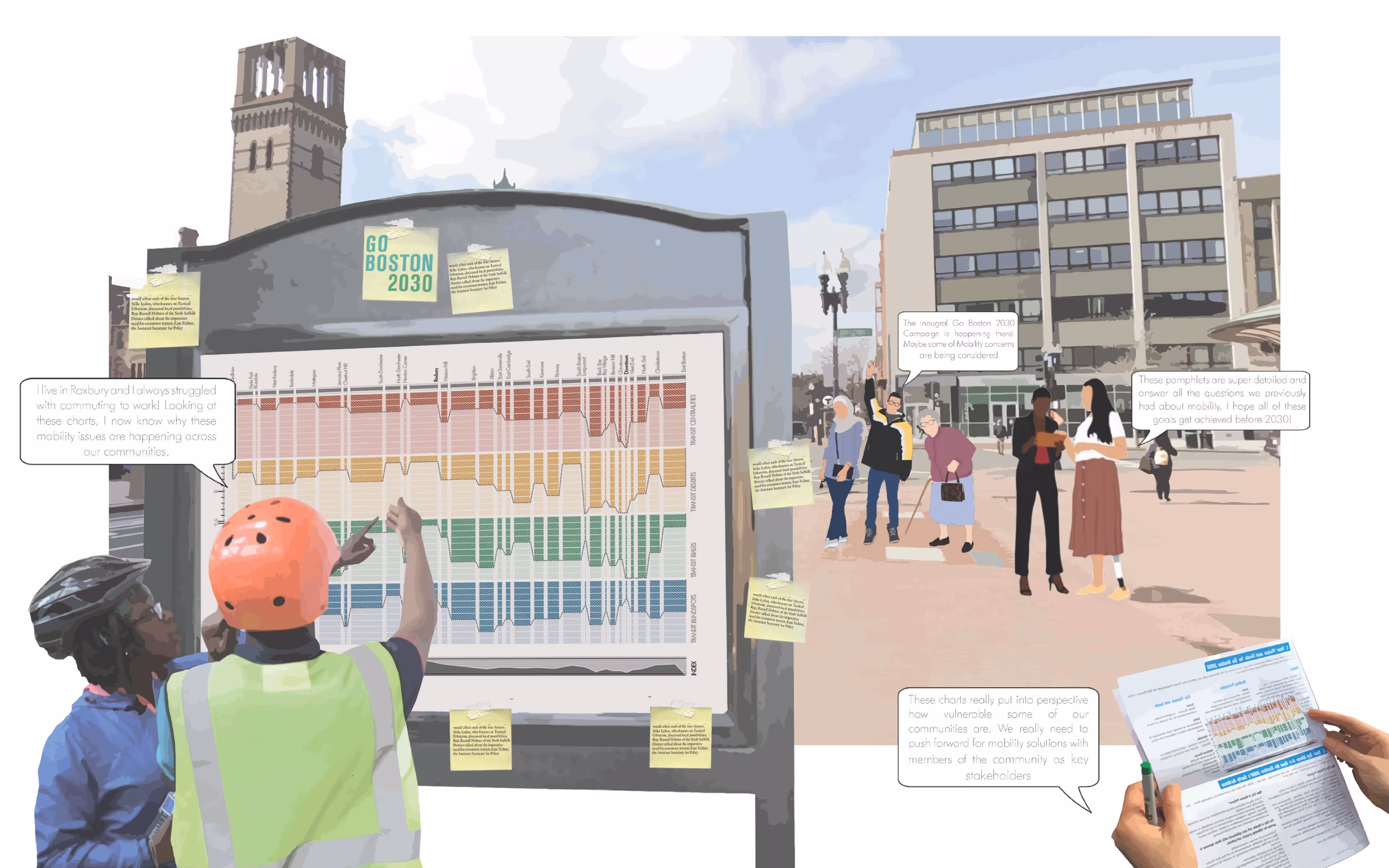
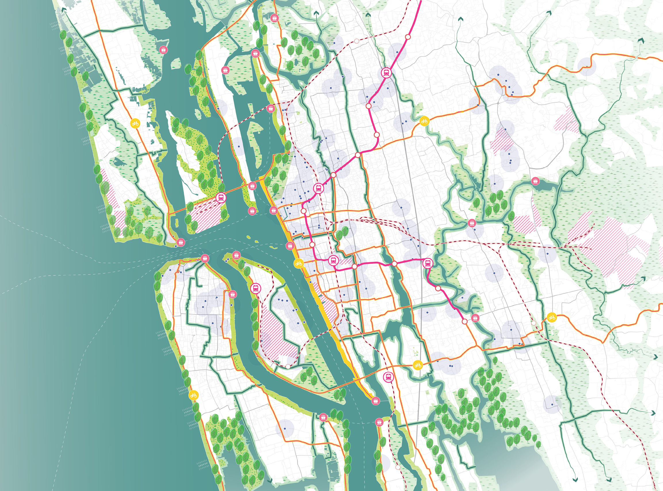
For the final project in the Pre-Term Urban Design Workshop, we explored how Boston’s emerging geospatial datasets—covering transit networks, stations, neighborhood boundaries, and census information—could be harnessed to build a digital twin of the city and analyze barriers to public transit access. Using geospatial analytical tools, the research identified four categories of concern: Transit Centralities (areas with disproportionately high concentrations of stations), Transit Deserts (areas lacking walkable access), Transit Vulnerabilities (neighborhoods where specific community groups lack transit access), and Transit Blindspots (areas along networks with elevated crime rates). Each Boston neighborhood was ranked based on its vulnerabilities across these categories, revealing disparities in accessibility and equity. The study culminated in speculative collages illustrating a public engagement process, proposing how community-driven investments might be directed to strengthen transit access in the most vulnerable neighborhoods. The work demonstrates how data-driven mapping can guide equitable action.
Affliation
Harvard University Graduate School of Design